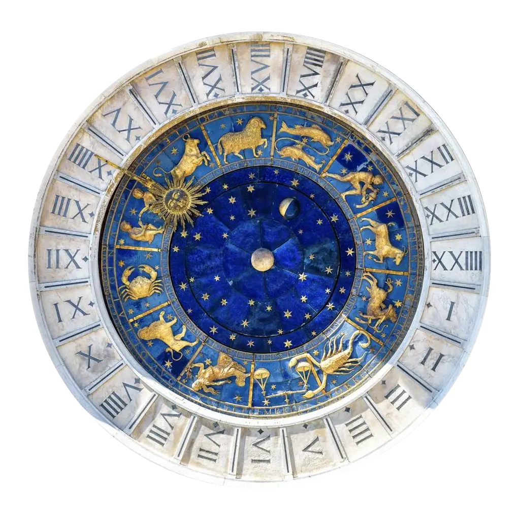
Your chart in 3D: the lines draped on a turning Earth, and above it the planets that cast them, each on a plumb line down to its zenith point. The ecliptic and horizon rings, named stars and constellations, and a time bar to play the sky forward.
Ask the map a question instead of reading it line by line. Rank the world’s cities against a life theme, or run it backwards: name a line or a paran band and get the cities near it. With a composite chart active, it reads for two.
Sweep a circle over any place and the map dims to reveal every line running near it, even the families you’ve switched off. Nearest first, with the distance to each, and the local-space bearings that point toward the spot. Every place box here resolves a street address.
The same circle, read as prose. A lead line for the strongest influence, then every line, paran and star contact in range, grouped by class and ordered by closeness. Written by hand, not generated, and every section can drop straight into a report.
A pair of rotatable globes in the expanded wheel, natal beside relocated, placing each body by compass bearing and altitude. A Compare table then marks every azimuth aspect retained, changed, lost or new, so you can watch a new horizon rearrange the same sky.
Parans tell you where; this tells you when. A 24-hour track of every angle crossing at the place you’re reading, with the moments two bodies go angular together ringed, and a speculum table listing the day’s exact times. Hover along the track to read any moment.
The “when exactly?” companion. Dated lists of every moment the running overlay stands on one of your chart’s main angles, relocated to the place you’re reading, whether it is transiting, progressed or directed. A line on the map tells you a place matters; this tells you the dates.
Tag the spots that matter and tie each to a chart: the trip that changed everything, the café on your Venus line. Save a pin and it stays on the map flying its country’s flag, synced across your devices and following the chart, not the account.
One switch in Capture and the basemap drops away: the line arrows go, the badges hug the frame edges, and the local-space compass is left alone on a transparent PNG. Lay it straight over a floor plan, a site map, or a backdrop of your own.
Compose in AstroLina, finish in your own editor. Blocks hold wheels, line notes, compasses and parans, each tied to its own place, so one package can walk several cities — then export a real Word file, fully editable: your notes, your letterhead, your compass over a floor plan.